
Road trips across India
Hit the road
India's great drives — Himalayan passes, coastal highways and desert circuits. Each guide covers the route stop by stop, the season, road conditions and how to prepare.

Ahmedabad → Dhordo (the White Rann)
Ahmedabad to the Rann of Kutch
Ahmedabad to the White Rann is about 410 km — roughly 330 to Bhuj on four-lane highway, then 80 more north through the Banni grasslands to Dhordo, where the salt begins. Three or four days is the usual shape, with Bhuj as the base you drive out from twice. What you are driving to is a salt flat: a level white crust running to a horizon with nothing on it. That is either the point or the letdown, depending entirely on when you show up. At two in the afternoon it is a glaring, featureless plain, and people walk out, take a photograph and leave puzzled about the fuss. In the last half hour of light, or under a full moon, it does the thing it is famous for. Dhordo in season is a managed resort, not a wilderness. A tent city operates there with a stage and a cultural programme, and vehicles are kept off the crust, so the last stretch to the viewing platform is on foot or by camel cart. None of that spoils the salt at dusk. It does mean the emptier half of this trip lies elsewhere — the Banni hamlets on the road up, and Mandvi's boatyards on the way home. Give both more time than the itineraries do.
November to February 3–4 days ~410 km one way
Bengaluru → Madikeri (Kodagu)
Bengaluru to Coorg
Bengaluru to Madikeri is about 250 km and takes five to six hours, and the distance is the least interesting number in that sentence. The Bengaluru–Mysuru leg runs on a 118 km access-controlled stretch of NH-275 that goes around every town it used to run through. After Mysuru the road halves to two lanes through Hunsur and Kushalnagar, and the last part is hairpins climbing through coffee into Madikeri. What actually varies is how long the city takes to let go of you. Riders should settle the vehicle rule before they pack. Under an NHAI gazette notification that took effect on 1 August 2023, motorcycles, autorickshaws, tractors, quadricycles and non-motorised vehicles are barred from the main carriageway. Nobody is banned from Coorg by this. You are on the two-lane service road for the Bengaluru–Mysuru section, which is a slower and considerably less pleasant trip than the one your passengers in cars are having. The thing worth understanding about Kodagu is that the forest on both sides of the road is largely not forest. It is arabica growing in the shade of native trees, which is how a plantation district ends up full of birds. What Coorg is short of is spectacle. Abbey Falls and Raja's Seat are where every itinerary sends you and where most afternoons go to die; the estate back roads and the climb to Talakaveri are what the district is actually good at.
October to March, with March and April for the coffee blossom 3 days ~250 km
Bengaluru, Karnataka → Ooty (Udhagamandalam), Tamil Nadu
Bengaluru to Ooty through the Nilgiris
Around 300 km from Bengaluru to Ooty by the Gudalur road, and the drive earns more of your attention than the destination does. You go out through Mysuru, down through Gundlupet into Bandipur, across the Moyar at Theppakadu into Mudumalai, and up the mountain from Gudalur. Between Gundlupet and Gudalur you are inside a continuous stretch of tiger reserve, where an elephant standing on the road is ordinary rather than lucky. Ooty itself will disappoint anyone who came for the hill station in the photograph. The town centre is congested and the lake is a paddle-boat pond. In season the traffic up there is worse than the city you left. Coonoor is the better base, and the geography catches people out: it is nineteen kilometres beyond Ooty, down the Mettupalayam side of the massif, so you drive through the town you were trying to avoid in order to reach it. Most people work that out a day too late. Three to four days is right, and two of them belong to the forest and the tea slopes.
October to March 3-4 days ~300 km via Gudalur
Chennai → Pondicherry (Puducherry)
Chennai to Pondicherry on the East Coast Road
Chennai to Pondicherry is about 160 km down the Coromandel coast and takes three to four hours if you refuse to stop, which is the one way to get it wrong. The reason to take the East Coast Road rather than the inland highway is what sits beside it: a Pallava port city carved out of granite, a demolished fort standing in the surf at Alamparai, salt pans either side of the carriageway at Marakkanam, and at the end a town whose eastern half is laid out as French boulevards. What the drive is not is a corniche. The Bay of Bengal spends most of the route behind casuarina and resort walls, and you get only a handful of clear views of water from the driver's seat. Every beach on this road needs a turning off it. The other thing to know before you commit a weekend: the road is halfway through being rebuilt. The Chennai end is four-lane, divided and quick. The Pondicherry end is not, and the widening that will fix it has barely started.
January and February 2–3 days 150–160 km
Coimbatore, Tamil Nadu → Valparai, in the Anaimalai Hills
Coimbatore to Valparai
This is a road trip where the road is the destination, and it is worth being blunt about that before you go. Valparai town is a working plantation settlement — estate offices, workers'' lines, a bus stand, a handful of places to eat. There is no promenade, no boating lake, nothing to shop for. People drive up expecting an Ooty and are disappointed by lunchtime. What they have actually come for is the 64 km from Pollachi. The road leaves the plains at Aliyar dam, a gravity dam 72 m high, and then climbs 40 hairpin bends into the Anaimalai Hills to a plateau at 1,059 m. Every bend carries a reflective board naming an animal or bird found in the Anamalai Tiger Reserve, so the ascent is counted off in species rather than kilometres. The reserve is 1,479 sq km and runs from 340 m up to 2,513 m, and this is one of the few places in India where you have a real chance of seeing lion-tailed macaques from a car. Above the bends it is tea in every direction, wet enough to average 3,538 mm of rain a year, and cool enough that the maximum barely passes 29 degrees. Stay a night. The point of Valparai is being on the plateau early, when the gaur are still out on the estate roads.
September to March. The hills are shut to traffic between 6 p.m. and 7 a.m. all year. 2-3 days ~110 km from Coimbatore; the ghat itself is the 64 km from Pollachi on SH-78
Delhi → Rishikesh
Delhi to Rishikesh
Until April 2026 this was a grind up NH-58 through Meerut and Muzaffarnagar, and the reason a lot of people flew to Dehradun instead. The Delhi–Dehradun Expressway changed the arithmetic. You run 108 km on the new road, take the 50.7 km spur that branches near Halgoya and bypasses Roorkee, come out on Haridwar's ring road at Bahadarabad, and finish on about 25 km of ordinary road. Call it a little under 200 km from east Delhi. Published figures of 230 or 240 km describe the old way round, and the spur was projected to bring Delhi–Haridwar down from roughly five hours to under two. Which makes it a weekend, and makes the day trip look feasible in a way it is not. Rishikesh is a walking town split by a river with no car crossing in the middle of it. Arrive at noon, leave at five, and you will have seen one bank. The other thing to settle before you set off is that the bridge in all the photographs is shut. Lakshman Jhula has been closed for years — an IIT Roorkee assessment found its cables worn out — and its replacement, Bajrang Setu, now stands on the same line with a glass walkway down each side.
October to March 2–3 days ~190 km from east Delhi
Gangtok, Sikkim → Yumthang Valley and Zero Point, North Sikkim
Gangtok to Lachung and Yumthang
Two things about this drive are worth settling before you book it. The first is that you cannot do it alone. Beyond Chungthang, permits are mandatory for everyone, Indian and foreign, and they are issued against a Sikkim-registered operator with at least a day''s notice. There is no independent-traveller path, no turning up and hiring a car in Gangtok that morning. The permits run a minimum of three days and two nights and a maximum of six and five, so the shape of the trip is decided by paperwork before you choose anything. The second is that Yumthang is called the Valley of Flowers and is one for about six weeks a year. The rhododendrons flower from late February into mid-June, and the part actually worth crossing Sikkim for is late April to mid-May. Outside it you are looking at a wide brown river meadow with a car park, which is a perfectly nice place to stand and not what the photographs promised. In December the valley is shut under snow altogether. Get those right and it is one of the great Himalayan drives — 95 km up to Chungthang, on to Lachung for the night, and then the climb to Yumthang at 3,564 m with the Shingba Rhododendron Sanctuary, forty-three square kilometres of it, standing around the valley floor. Above that the road runs to Zero Point at about 15,300 feet and simply stops.
Mid-March to early June. The rhododendrons are spectacular from late April to mid-May and finished by the end of it; Yumthang is closed December to March under snow. 3 days minimum — that is what the permit allows, not a suggestion ~175–185 km each way to Zero Point; roughly 360–380 km round trip on NH-310A
Delhi → Delhi (loop via Agra & Jaipur)
Golden Triangle Drive
India's most popular touring circuit links three of the north's great cities — Delhi, Agra and Jaipur — in a loop of about 720 km. Fast expressways connect them, so the driving is easy and the distances short, leaving time for the Taj Mahal, the forts and palaces of Jaipur, and the ghost-city of Fatehpur Sikri. It is the classic first road trip in India, and a good introduction to Mughal and Rajput history.
October to March 5–6 days ~720 km
Guwahati → Tawang
Guwahati to Tawang
Guwahati to Tawang is about 500 km and two full days of driving each way. Published distances disagree — you will see 445 km quoted, and Wikipedia's Tawang entry says 555 — because there is more than one way to count the routing. The number that matters here is hours, not kilometres. The road runs flat and fast for the first 225-odd km, to Bhalukpong on the Kameng, where the Inner Line check post is and where the tarmac is still only 213 m above the sea. From there it climbs for roughly 275 km, over Sela at 4,170 m, to a town sitting at around 3,000 m. That is close to four kilometres of vertical inside two days, which is why a five-day plan needs its middle day as a rest day and not a spare one. Tawang itself is a working border town of army camps and one long market street, not a picture-book one. The monastery above it is the thing to see, and a day covers it. What you have actually come for is the two days of road: the Kameng gorge below Bomdila, and whatever the weather happens to be doing at Sela when you get up there. Two honest warnings. Hire a vehicle with a driver who has done the road — self-driving from Guwahati is possible, and I would still not do it on a first trip. And do not compress it. Four days means both ends of the journey happen in the dark.
March to May, and October into early December. June to September is the monsoon. 5-7 days round trip About 500 km one way. Published figures run from roughly 445 km to the 555 km given in Wikipedia's Tawang entry, depending on which routing is being counted.
Hyderabad, Telangana → Hampi, Karnataka
Hyderabad to Hampi
About 380 km on NH44 and then a state highway, six to seven hours if the road behaves, which makes Hampi one of the very few great historical sites you can reach from a major Indian city in a morning. Do not treat it as a Saturday-Sunday trip regardless. Hampi is spread across kilometres of boulder field and river bank, and two full days is the minimum before it stops being a series of monuments and starts being a city you can read. The drive itself is unremarkable: Deccan scrub and cotton for most of it, then ore trucks for company once you are past Ballari. The stretch after Kurnool is patched and slower than the map promises. Time the trip for October to February, and February if you get to pick, because the granite here holds heat like a stove and April in Hampi is genuinely punishing rather than merely warm. Most people sleep in Hosapete, which was officially respelled from Hospet in 2014 and still appears both ways on signs and tickets. It is a working industrial town with little reason to be out in it after dark, so plan your evenings on the Hampi side of the road instead.
October to February 3-4 days ~380 km
Jaipur → Jaisalmer
Jaipur to Jaisalmer Desert Drive
This drive runs west across Rajasthan from the Pink City of Jaipur to the golden fort-town of Jaisalmer on the edge of the Thar Desert, taking in Pushkar's holy lake and the blue city of Jodhpur on the way. The land grows drier and emptier as you go, ending in dunes and a living sandstone fort. It is a journey of forts, palaces, camel country and big desert skies.
October to March 3–4 days ~560 km
Kochi (Ernakulam) → Alappuzha (Alleppey), via Munnar
Kochi to Munnar and down to Alleppey
Kochi to Munnar is about 130 km and takes four hours, and the disagreement between those two numbers is the whole character of the drive. As far as Kothamangalam you are in flat, wet, built-up Ernakulam and the road belongs to buses. The trip actually begins at Neriamangalam, where NH 85 crosses the Periyar on an arch bridge opened in March 1935 and still called the gateway to the high ranges. Above it the road climbs roughly 1,500 metres in 45 kilometres of hairpins, and two waterfalls, Cheeyappara and Valara, arrive a kilometre apart directly beside the carriageway. Munnar sits at 1,600 m where three streams meet, which is what the name says in Malayalam. The town itself is a traffic jam with tea around it, and the sightseeing points that every itinerary lists — the echo point, the photo point — are car parks with a view. What is worth the drive is Eravikulam, thirteen kilometres north, where Nilgiri tahr graze the Rajamala slopes and Anamudi stands behind them at 2,695 m, the highest peak in India outside the Himalaya. You are taken up by park shuttle; private cars stay at the base. Then you come back down the same ghat and keep going, and over 175 km the country changes completely — tea, then rubber, then coconut, then paddy and standing water. It ends on Vembanad at Alappuzha, and the last day of this trip is spent not driving at all.
September to January. Avoid February and March unless you have written off the national park — see below. 5-6 days ~340 km for the loop: about 130 km Kochi to Munnar on NH 85, 175 km down to Alappuzha, 53 km back up the coast
Kolkata, West Bengal → Gangtok, Sikkim
Kolkata to Darjeeling and Gangtok
This is two journeys bolted together, and it is worth knowing which half you are buying before you give a week to it. Kolkata to Siliguri is 560 to 600 km depending on which line you take — NH12 up through Krishnanagar, Berhampore, Farakka and Malda, then NH27 for the last run in — and it costs thirteen to fifteen hours of flat highway behind trucks, through towns the road runs into rather than around. Nobody pretends that leg is scenic. Then the ground tilts, and the climb into the hills is as good as hill driving gets in India. So say it plainly. If you only want the hills, take the overnight train to New Jalpaiguri or fly into Bagdogra and hire a car there; you lose nothing and you gain two days. Drive the whole thing only if the plains are genuinely the point — the Farakka barrage carrying the highway over the Ganga, and the Bengal Sultanate capitals at Gaur and Pandua outside Malda, which almost nobody stops for. Allow six to eight days, then add a spare one, because NH10 closes without warning.
October to early December, and March to April 6-8 days ~690 km straight through to Gangtok; longer if you go up via Darjeeling and Kalimpong
Leh → Leh (loop via Nubra, Pangong & Tso Moriri)
Leh–Ladakh Royal Enfield Trip
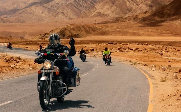
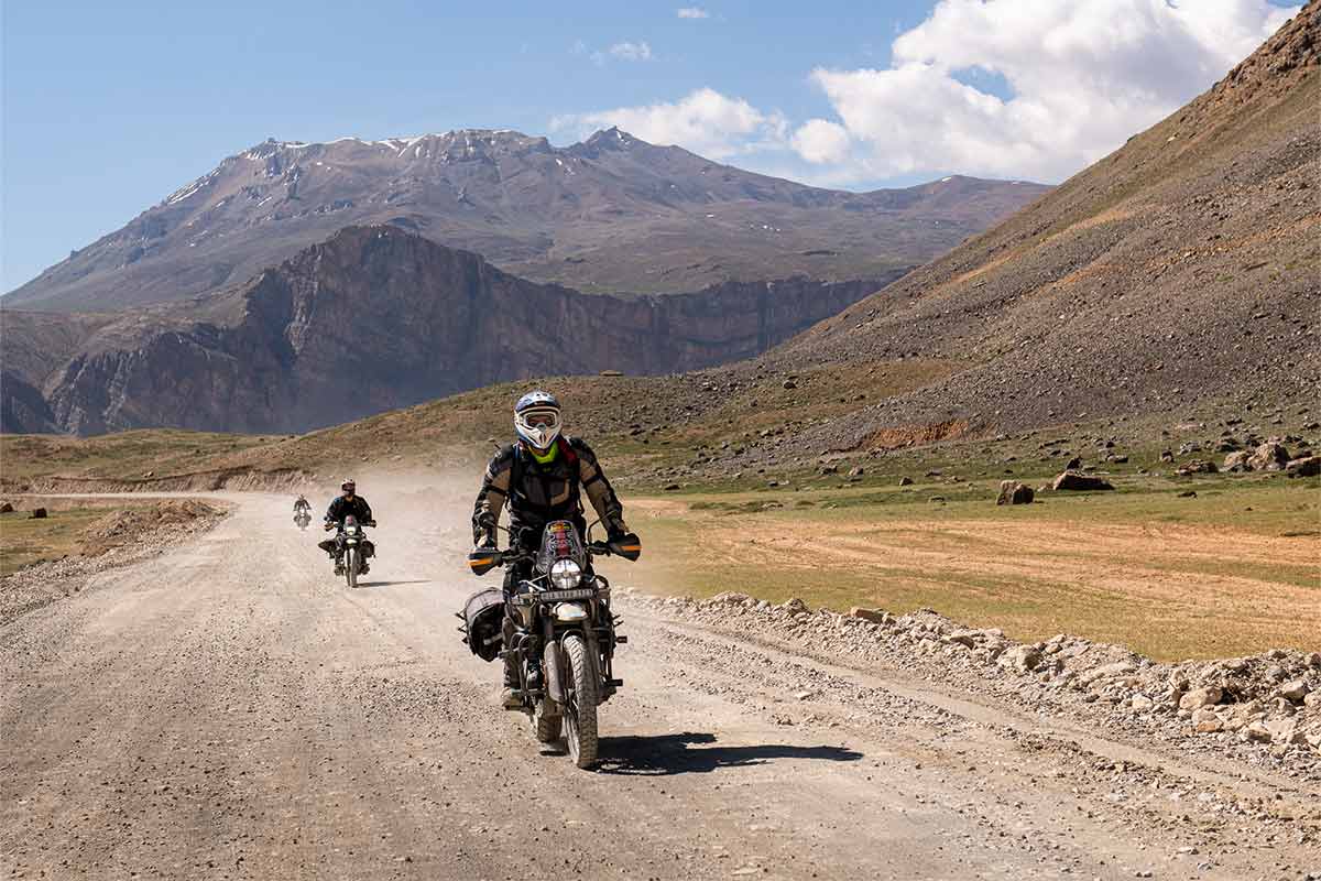
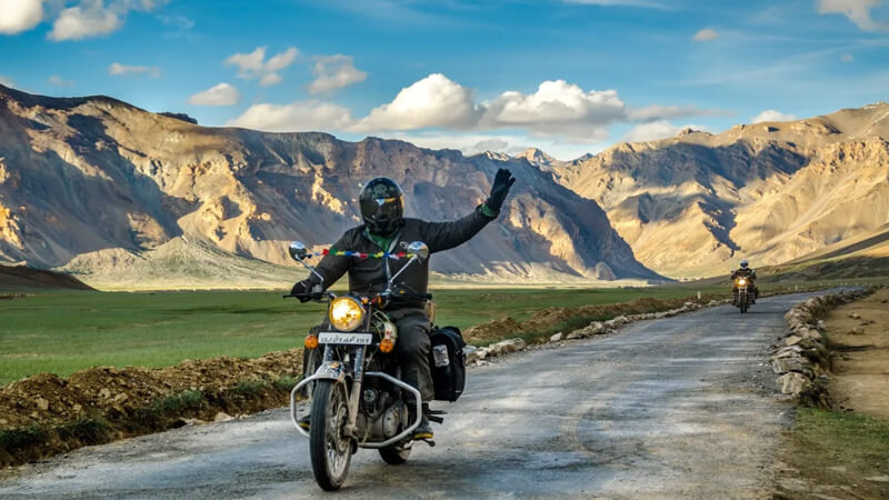
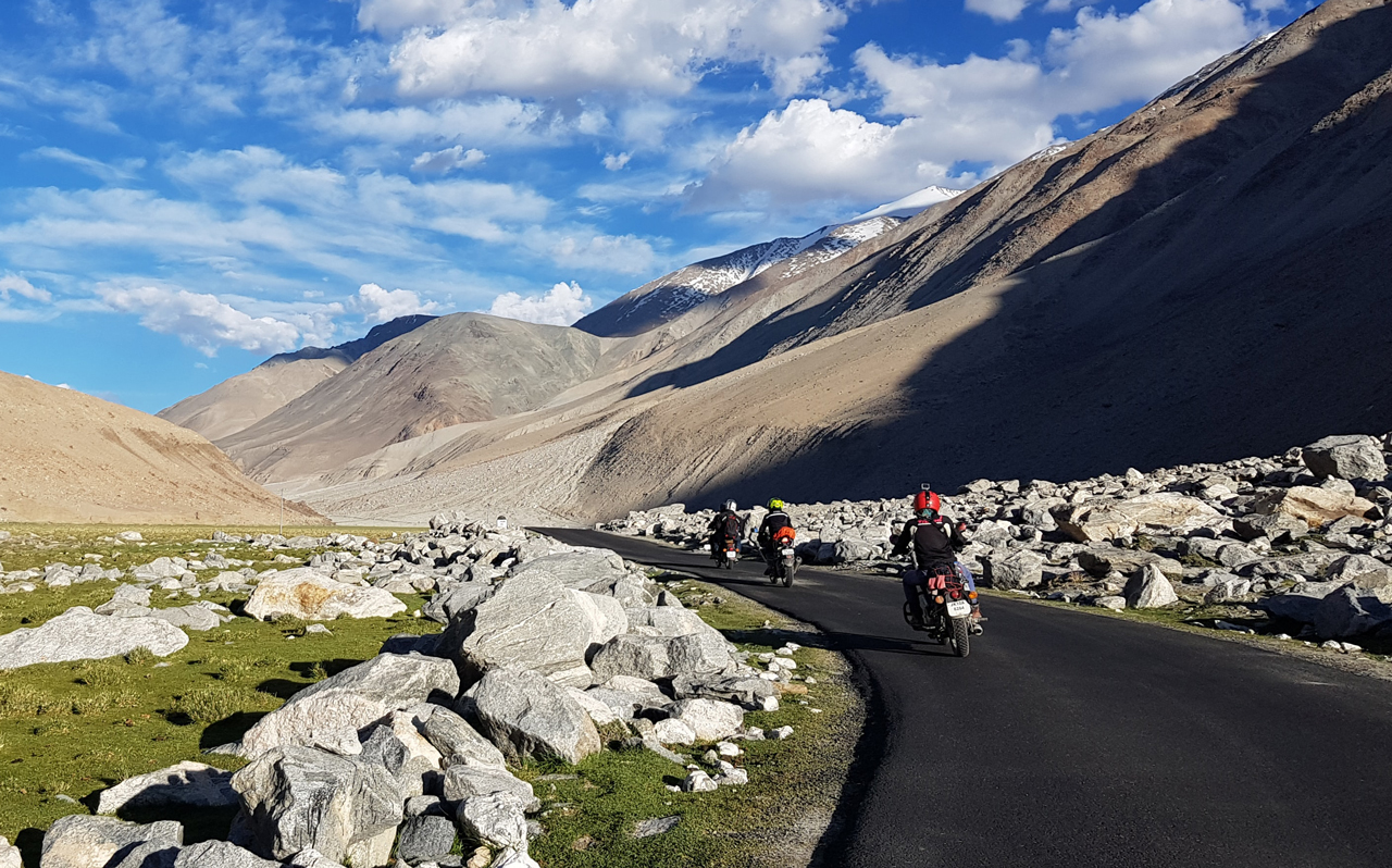
Ladakh's classic motorcycle circuit starts and ends in Leh, climbing over Khardung La into the Nubra valley, running east to Pangong Tso along the Shyok, and dropping south to the high salt lakes of Tso Moriri and Tso Kar before returning to the Indus. Rented Royal Enfields line Leh's main bazaar for good reason — the roads are rough enough to want the ground clearance and simple enough to mend by the roadside. Nothing on the loop sits below 3,000 m and the passes cross 5,300 m, so the first two days belong to acclimatisation rather than riding.
Mid-June to mid-September 8–10 days ~1,100 km
Manali → Leh
Manali–Leh Highway
One of the world's great high-altitude drives, the Manali–Leh Highway climbs from the green Kullu valley over a series of 4,000–5,300 m passes to the desert mountains of Ladakh. Across roughly 475 km it crosses Baralacha La, Nakee La, Lachulung La and Tanglang La, past the vast More Plains and the twisting Gata Loops. The road is open only for a few summer months and demands time to acclimatise — but the scenery of glaciers, high pastures and moonscape ridges is unmatched.
Mid-June to mid-October 2–3 days ~475 kmMumbai → Goa
Mumbai to Goa on the Konkan Coast
The coastal route from Mumbai to Goa winds through the Konkan — a green ribbon of the western shore with quiet beaches, fishing towns, seafood and hilltop forts. It is slower and prettier than the inland highway, running past Alibaug, Ganpatipule and the Malvan coast before reaching Goa. Best enjoyed after the monsoon, when the hills are still green and the sea has calmed.
October to March 3–4 days ~590 km
Shillong, Meghalaya → Dawki and Mawlynnong, on the Bangladesh border
Shillong to Sohra and Dawki
Sohra — the name on the signposts is not Cherrapunji — sits at 1,430 m on the southern lip of the Meghalaya plateau, 53 km from Shillong, and the whole landscape is arranged around the fact that more rain falls here than almost anywhere on earth. It holds two Guinness records, 26,471 mm in the twelve months to July 1861 and 9,300 mm in that July alone, and it is no longer even the wettest place in the state: Mawsynram now averages 11,872 mm against Sohra''s 11,777 mm. That rain built the two things worth driving for. The waterfalls come off the plateau edge in single drops — Nohkalikai is 340 m and the tallest plunge fall in India — and the living root bridges below it were grown, over generations, by training ficus roots across streams that no ordinary bridge would survive. The Umshiang double-decker at Nongriat is about two hundred years old and stands 1,293 ft above sea level, with decks of 80 and 60 feet. You do not drive to it. You drive to Tyrna and then walk down three thousand-odd steps into the gorge, and back up them afterwards. That walk is the trip.
October to early December, and January. October still has water in the falls; December and January are dry and clear. 4-5 days ~180 km of driving: Shillong to Sohra 53 km on SH-5, Sohra towards Dawki and Mawlynnong, and back
Shimla, Himachal Pradesh → Manali, Himachal Pradesh
Shimla to Manali via Kinnaur and Spiti
The long way from Shimla to Manali climbs the Sutlej gorge through Kinnaur, crosses into Spiti and comes out over Kunzum La at 4,551 m. Shimla to Kaza is about 420 km and Kaza to Manali about 200 km, so the spine of the drive runs near 620 km, closer to 720 once you have added the Sangla and Chandratal detours. Give it eight to eleven days, because covering ground is not the point. Drive it in this direction rather than the reverse. You gain height over four or five days, from Shimla's deodar to the bare brown ridges above Kaza, and your lungs will notice the difference. Kaza gets over-booked by people who have read about Spiti and not about Kaza. It is a working little town — one fuel pump and a row of guesthouses — and what you came for is on the roads out of it. Two nights covers Key, Kibber, Langza and Komic without hurrying, three if you also want a day at Chandratal; on a fourth you will be sitting in a cafe. Nor does anyone warn you that the drop from Batal towards Chhatru is less a road than a riverbed with tyre tracks across it, and it will eat most of a morning. Kinnaur closes for landslides and Kunzum closes for snow, and neither will consult your itinerary. Come with a spare day in hand and nothing booked at the far end.
Mid-June to early October 8-11 days 620-720 km
Srinagar, Jammu & Kashmir → Leh, Ladakh
Srinagar to Leh via Kargil
NH1 runs 434 km from Srinagar to Leh, and almost everyone breaks it at Kargil — a little over 200 km on the first day, a little over 230 km on the second. Out of Sonamarg you climb Zoji La, then the road crosses Namika La and tops out at Fotu La, 4,108 m and the highest point on the highway. Zoji La is the pass people are nervous about, and it is not the high one. Take three days if the calendar allows. Leh sits at about 3,500 m against Kargil's 2,676 m, and arriving worn out at the end of a long second day is how people lose their first two days in Ladakh flat on a guesthouse bed. The unpleasant part comes early: above Sonamarg the road narrows to a single-lane unsurfaced shelf cut into the hillside, with loaded trucks working down it, and that first hour asks more of your nerve than everything after Kargil put together.
June to early October 2-3 days ~434 km
Visakhapatnam, Andhra Pradesh → Araku Valley, Alluri Sitharama Raju district
Visakhapatnam to Araku Valley
This is the drive that Andhra keeps to itself. A hundred and twelve kilometres on State Highway 39, the first sixty of them flat and unremarkable through Pendurthi and Kottavalasa, and then a ghat that climbs continuously through the Eastern Ghats to a valley at about 910 metres where the coffee grows. Two things make it worth the day. One is Borra, 88 km up, where limestone caverns run to a depth of 80 metres — genuinely enormous, genuinely old, and lit like a wedding hall. The state tourism authority installed mercury and sodium lamps years ago and later added coloured LEDs, so a 150-million-year-old chamber now glows red and green and blue. Visitors say so repeatedly and they are right; go anyway, and go early before the crowd. The other is the railway. The Kothavalasa–Kirandul line was built to carry iron ore out of Bailadila and it runs through this same country on 58 tunnels and 84 major bridges. Shimiliguda, just past Araku, was the first highest broad-gauge station in India at 997 metres. Since 2017 there has been a Vista Dome coach on the tourist service, which covers 129 km in under four hours. If there are two of you and one is happy to drive alone, the best version of this trip is train up and car down. Araku itself is coffee, tribal museum, and a valley that stays cool when the coast does not. It is not a hill station in the Ooty sense and is the better for it.
October to February, and November to January is the best of it. 2–3 days 112 km one way on State Highway 39
